
Climbing Ben Nevis






Walking, Hiking & Climbing
- Open Year Round
- Parking Available
Activity Details
| Start/Finish Map Reference | NN123731 |
| Parking | Glen Nevis Visitor Centre |
| Distance | 17km/10.75miles |
| Time | 8 hours |
You can take the bus using Sheil Buses, walk, drive or cycle to Glen Nevis near Fort William.
Ben Nevis is the highest mountain in the UK at 1345m/4406ft. This route is known as the Tourist Route/Pony Track/Mountain Track. It is straightforward, if somewhat strenuous path and should only be undertaken if you are fit and have the correct clothing, including sturdy footwear. It is significantly cooler at the summit so take plenty of layers with you. If there is snow on the ground then speak to an expert to check if you will need additional equipment. Navigational skills are also recommended.
Check the weather before you set off, the Visitor Centre should be able to advise you. If it is closed then visit MWIS , Met Office or Mountain Weather Forecasts . Please bear in mind that the weather on the summit can be very different to that in Fort William, you can find more information on winter mountain safety at Mountaineering Scotland
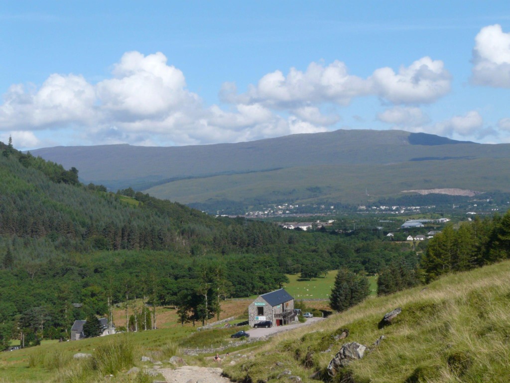
Turn left out of the carpark and cross the bridge over the River Nevis. Once across the bridge, turn right and follow the river bank for a few hundred metres, turn left over the stile, walk up the path between the wall and the fence.
Go across the stile at the top of the path ahead across a track to meet a path which started at the Ben Nevis Inn, turn right up path. Continue along the path which climbs across the hillside. The path from Glen Nevis Youth Hostel joins the route from the right. Further on the path doubles back on itself to climb the steeper, rockier slopes in a wide zigzag.
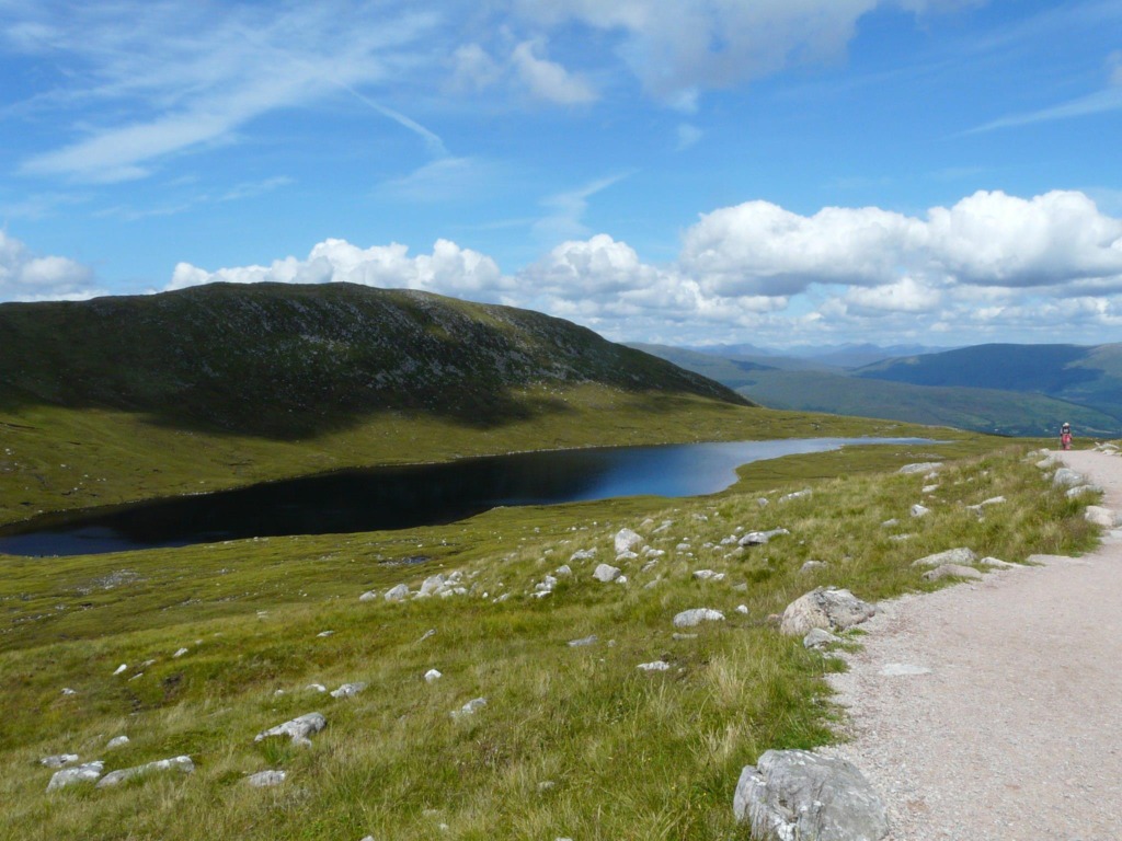
The path crosses over a couple of small streams and curves round, climbing above the valley of the Red Burn. As the head of the burn is approached the path takes a very sharp left turn; please don’t use the old path ahead which is eroded and loose. The correct path winds up much more easily to reach the plateau, known as the half way lochan. The walk doesn’t go near the loch but keeps to the right.
The path begins to climb once more. When a junction is reached turn right. The path to the left takes you round to below the North Face. Shortly the the path crosses the Red Burn stream. Soon the path becomes much rougher and climbs up through zigzags. Higher up the path passes above steep screes and you will see Five Finger Gully.
The going gets easier now as the beginning of the summit plateau is reached. At the summit there is trig point and cairns.
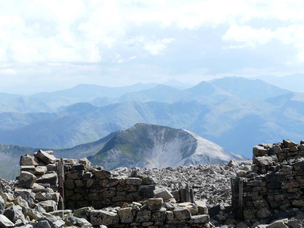
Take a well earned rest and hopefully the day will be clear and you will get breathtaking views. Would you believe that there used to be a hotel at the summit and an observatory, the remains can still be seen. If you’re inspired to find out more or get involved visit Nevis Landscape Partnership to find out more.
Please take all your litter home, due to the temperature at the summit even food waste takes a very long time to decompose, if at all.
Return the way you came up.
Be taken back 4.5 billions years and forward to the present day in a little under 11 minutes. Lochaber Geopark tells the amazing story of how Scotland and Ben Nevis were formed in this short You Tube film, or for more information visit the Geopark’s website.
Mountaineering Scotland is also a great resource and their participation statement is relevant to all activities undertaken in the hills.
“Mountaineering Scotland recognises that climbing and mountaineering are activities with a danger of personal injury or death. Participants in these activities should be aware of and accept these risks and be responsible for their own actions and involvement.”
Where you'll Find Us
Find the perfect place to stay while here in Glencoe
Hotels Bed and Breakfast / Guest House Self Catering Caravan, Camping & Glamping