
The Lost Valley
Walking, Hiking & Climbing
Activity Details
| Start/Finish | Map Reference – NN 171 569 Landranger 41 |
| Parking | On A82 – either of the two large car parks on right of the road opposite the 3 sisters. |
| Distance | 2 miles/3.5 km |
| Time | 2 hours |
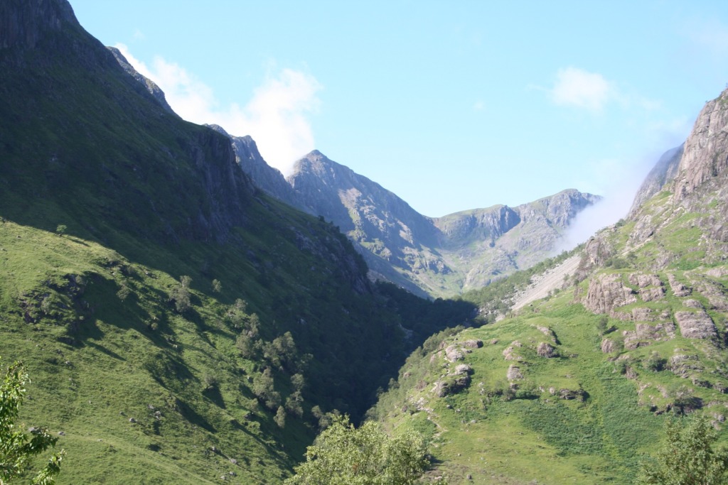
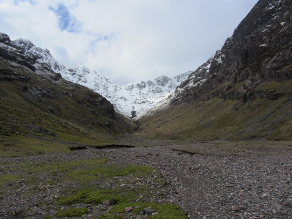
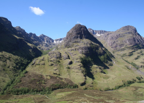
The Lost Valley was where the Macdonalds supposedly hid the cattle they had rustled from their neighbours, or perhaps, where they hid their cattle to stop them being rustled by their neighbours! The geologists tell us that the lost valley was formed by the weight of ice that could not escape from the valley as the huge ice cap flowed down to the sea through the pass of Glencoe from off Rannoch Moor. Even knowing all this, the size of the valley still comes as a complete surprise the first time it is viewed.
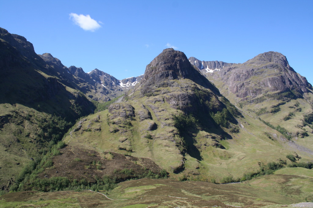
Looking down from the car park towards where the river must be – the gorge is so deep that the river is not really visible from the car park – the old road can be seen. Descend to the old road and turn left along it. Soon a set of metal steps lead down to a bridge over the river. A brief scramble up the rocks on the other side joins the path that rises quite steeply up the hill between Beinn Fhada and Gearr Aonach, the left two of the three sisters of Glencoe. All the way into the valley the path is quite clear even when it crosses the deer fence. There is a small river to cross shortly before to arrive at the lost valley itself, and this can be tricky or not even possible if the river is in spate after a period of heavy rain. Coming up over the final rise the valley stretches out a long way to each side and forward to the buttresses leading up to Bidean nam Bean. It is good to wander around the valley for a short while and consider, ”how on earth did the Macdonalds get the cattle up here in the first place?“
Where you'll Find Us
Find the perfect place to stay while here in Glencoe
Hotels Bed and Breakfast / Guest House Self Catering Caravan, Camping & Glamping